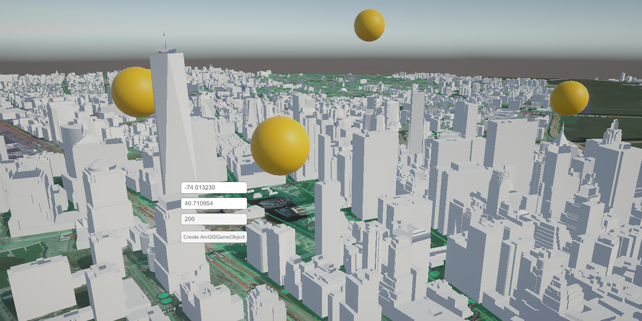
ArcGIS GameObjects

Overview
Arcgis-gameobjects allow unity developers to easily create ArcGIS Location Component GameObjects using a Monobehaviour class to generate location information. The ArcGISLocationComponent uses child ArcGISPoint object to set the position or rotation. The ArcGISGameObject allows you to send create/update a gameobjects position without having to reference the child `ArcGISPoint` component.
Features
Populate ArcGIS maps with custom data

Use custom JSON to create ArcGISGameObjects. The only requirement is a final output of Latitude and Longitude to set the position of your objects. I use custom location data to create Transit, Bus and Points of Interest in NYC.
Use Location Data for Custom Functions

The Geological Information System that underlys ArcGIS and Unity's GIS services, gives us the option for real mathematical formulas using ArcGISGameObjects. In the example project, I use the haversine distance formula to search for the nearest point. The Haversine formula determines the great-circle distance between two points on a sphere given their longitudes and latitudes.
Pull data from APIs

Access data from APIs to instanitate ArcGISGameObjects on the fly. In the Unity example package I use NYCOpendata to create Wifi Hot Spots.
Check it out on Github
Technologies Used
- ArcGIS SDK for Unity
- C#
- Unity